Fargo, North Dakota — August is beginning with another round of dangerous weather as severe thunderstorms are expected to sweep across parts of the Northern Plains before evolving into a significant heavy rain and flash flooding threat for portions of the Midwest later this week. Forecasters say millions of residents should prepare for large hail, damaging wind gusts, and localized flooding as the storm system moves east.
Severe Storms Expected Across Northern Plains on Monday
The Storm Prediction Center (SPC) has placed eastern North Dakota and northwestern Minnesota under a Level 2 out of 5 risk for severe thunderstorms on Monday.
Forecasters expect storms to develop during the morning hours. As the day progresses, warm, humid air is forecast to return, allowing the atmosphere to become increasingly unstable.
By the afternoon and evening, a cold front moving into the region is expected to trigger a new round of thunderstorms capable of producing large hail and damaging wind gusts.
While the primary hazards will be hail and strong winds, meteorologists say an isolated tornado cannot be completely ruled out, although the overall tornado threat remains relatively low.
South Dakota and Nebraska Could Also See Strong Storms
The severe weather threat will extend farther south into parts of South Dakota and Nebraska, though storms are expected to be more isolated.
Even so, any storm that develops could quickly become severe, bringing hail, strong wind gusts, and dangerous lightning.
Residents across the region are encouraged to monitor changing weather conditions, especially during the afternoon and evening when storm intensity is expected to increase.
Heavy Rain Shifts Into the Midwest
By Tuesday and Wednesday, the advancing cold front is expected to slow down across the Midwest, creating favorable conditions for repeated rounds of showers and thunderstorms.
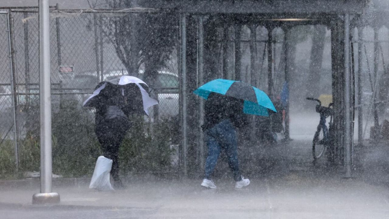
Meteorologists warn that some storms could produce rainfall rates between 1 and 2 inches per hour, increasing the risk of localized flooding.
Because storms may repeatedly track over the same locations, rainfall totals could build rapidly, especially in low-lying and poor-drainage areas.
Flash Flood Risk Increases Midweek
The greatest concern for flooding is expected Wednesday night into early Thursday, when the slow-moving weather system is forecast to affect parts of the central Midwest.
Forecasters say the highest flood threat stretches from southern Iowa and northern Missouri into northern Illinois, including the Chicago metropolitan area, and southern Wisconsin.
The Weather Prediction Center currently places portions of the region under a Level 2 out of 4 flash flood risk, indicating scattered flooding is possible.
Urban areas such as Chicago and Des Moines, Iowa, could be particularly vulnerable as paved surfaces make it difficult for heavy rainfall to drain quickly.
Residents Urged to Stay Weather Aware
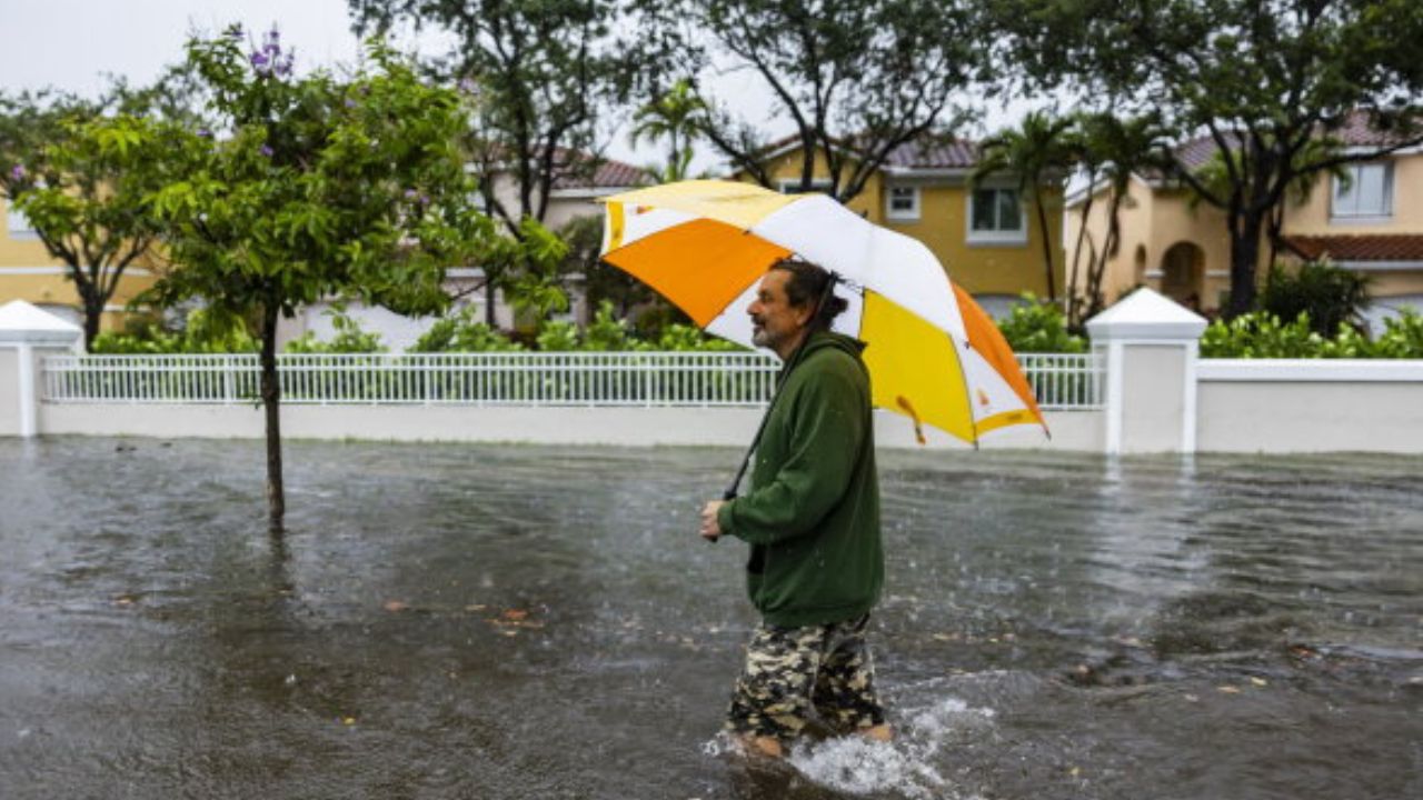
Emergency officials encourage residents across the affected states to monitor local forecasts, enable weather alerts on mobile devices, and avoid driving through flooded roadways if heavy rain develops.
With the threat expected to evolve from severe thunderstorms on Monday to heavy rainfall and potential flash flooding by midweek, forecasters say staying informed will be essential as this multi-day weather event unfolds.
Are you in the path of these storms? Let us know how conditions are changing in your area and what preparations you’re making for the severe weather.