Minneapolis, Minnesota — After several days of cooler temperatures and calmer conditions, a new round of severe weather is expected to develop across the Midwest before spreading into parts of the Northeast, with forecasters warning of damaging winds, flash flooding, large hail and dangerous travel conditions through early next week.
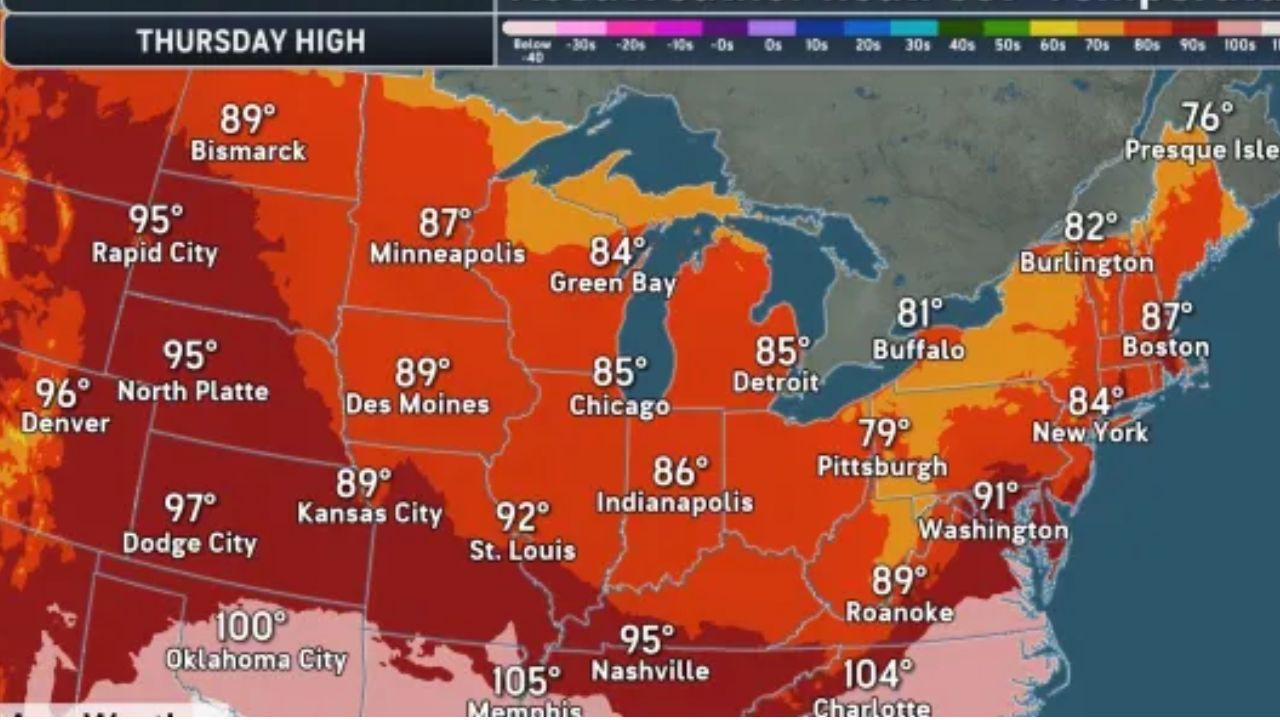
Meteorologists say the renewed storm threat marks the end of the recent stretch of fall-like weather, as warmer temperatures and increasing humidity create favorable conditions for repeated rounds of thunderstorms.
Severe Storms Expected to Develop Across the Northern Plains
The first round of severe weather is forecast to develop late Friday afternoon and Friday evening, stretching from northern South Dakota through eastern North Dakota into northern Minnesota, with storms also extending into portions of southern Manitoba and Ontario.
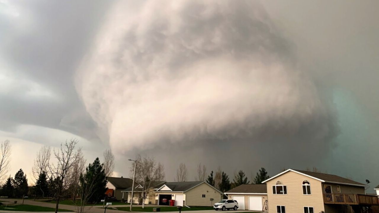
Forecasters warn that the strongest storms could produce wind gusts between 60 and 70 mph, along with large hail and intense downpours capable of reducing visibility in a matter of minutes.
Drivers traveling along Interstates 29 and 94 are urged to remain alert for rapidly changing weather conditions, especially during the evening commute.
Brief Break Before Storms Intensify Again
While Saturday is expected to offer a temporary break from widespread severe weather, isolated showers and thunderstorms could still develop around the Great Lakes, western Pennsylvania and parts of the central Appalachians.
The lull is expected to be short-lived.
By Sunday, a more organized cluster of thunderstorms is forecast to redevelop across the Upper Midwest, with Wisconsin expected to be near the center of the strongest activity.
As temperatures and humidity increase, the atmosphere will become more unstable, allowing storms to strengthen quickly.
Forecasters say these storms may produce widespread damaging wind gusts, large hail and torrential rainfall, increasing the potential for localized flooding.
Flash Flood Risk Expands Into the Northeast
The threat is expected to shift eastward by Monday and Monday night, affecting portions of the Ohio Valley and Northeast.
Heavy rainfall could overwhelm drainage systems in some communities, raising concerns about flash flooding, particularly in urban and low-lying areas.
Strong wind gusts may also bring down trees and power lines, leading to scattered power outages across affected regions.
Forecasters are also watching parts of West Virginia and Kentucky, where some storms may track into areas that recently experienced significant flooding earlier this week, potentially worsening already saturated conditions.
Rain Could Provide Relief From Wildfire Smoke
While the storms may create hazardous weather, they could also bring a temporary benefit.
The expected rainfall across western Ontario may help reduce wildfire activity in the region, which has been a major source of smoke drifting into the United States throughout the summer.
Meteorologists say the rain could temporarily improve air quality across portions of the Midwest and Northeast.
However, they caution that episodes of smoke and haze are still possible into August, as prevailing weather patterns continue transporting smoke from Canadian wildfires into the United States.
Residents across the affected regions are encouraged to monitor local forecasts, prepare for rapidly changing weather conditions and avoid driving through flooded roadways if heavy rain develops.
Are you expecting severe weather in your area this weekend? How do you prepare for storms and possible flash flooding? Share your thoughts and experiences respectfully in the comments below.