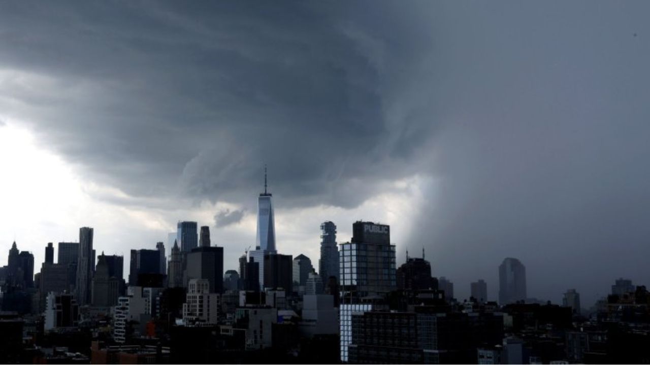
Chicago, Illinois — Millions of Americans across the Midwest and Northeast are preparing for another round of dangerous weather as forecasters warn that a powerful multi-day storm system could bring tornadoes, destructive winds, large hail, and flooding to regions already battered by recent severe weather.
The developing outbreak comes just days after tornadoes and damaging thunderstorms swept across many of the same states, leaving communities on alert as another significant weather event takes shape.
Severe Weather Begins Across Illinois and Indiana
The first phase of the storm system is expected to unfold Tuesday as thunderstorms develop across portions of Illinois and Indiana.
Forecasters say the storms could produce strong wind gusts and hail, prompting the Storm Prediction Center to issue a Level 1 out of 5 severe weather risk for areas stretching from Chicago into Indiana.
Illinois has already experienced an exceptionally active tornado season. According to storm reports, the state leads the nation with 141 tornado reports this year, and meteorologists warn that additional severe weather is likely in the coming days.
A strengthening area of low pressure developing across the Plains is expected to race eastward, creating favorable conditions for thunderstorms to intensify.
Tornado Threat Increases Wednesday
The most significant severe weather threat is expected to arrive Wednesday as the storm system moves from the Midwest into the Great Lakes region.
Forecasters have issued a Level 3 out of 5 severe weather risk from Kansas City to St. Louis, highlighting the potential for intense thunderstorms capable of producing damaging winds, large hail, and tornadoes.
A broader Level 2 risk area extends from Kansas through Kentucky, including major cities such as Louisville, Indianapolis, and Columbus.
Meteorologists expect a large mesoscale convective system (MCS) to sweep through the region. Ahead of the main line of storms, atmospheric conditions are expected to support the development of discrete supercells.
These rotating thunderstorms are often capable of producing the strongest tornadoes and most severe weather.
With strong wind shear in place and abundant Gulf moisture flowing northward, conditions may become favorable for dangerous storms throughout the day.
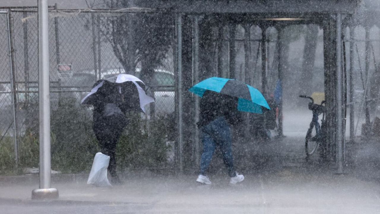
Northeast Faces Severe Storm Threat Thursday
By Thursday, the storm system is forecast to shift into the Northeast, bringing another round of potentially severe weather to heavily populated areas.
Cities including New York City, Washington, D.C., and Pittsburgh could experience strong thunderstorms as the system continues east.
A Level 2 out of 5 severe weather risk has been issued for portions of the Mid-Atlantic and Northeast.
Forecasters say the timing of the storm’s arrival will play a major role in determining how intense conditions become. If storms arrive during peak daytime heating, the threat for damaging weather could increase significantly.
Residents across the region are being urged to stay informed and monitor forecast updates as conditions evolve.
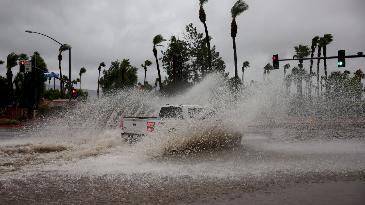
Heavy Rainfall Could Trigger Flash Flooding
In addition to the severe weather threat, flooding concerns are growing across parts of the Midwest and Ohio Valley.
The storm system is expected to carry a substantial amount of tropical moisture, increasing the risk of heavy downpours and localized flash flooding.
Many areas have already experienced repeated rounds of rain in recent weeks, leaving soils saturated and rivers elevated.
Weather Warning: El Niño Could Reshape Winter Weather Across the U.S. and Beyond
Because of these conditions, it may take only a small amount of additional rainfall to create dangerous flooding situations.
Forecasters expect widespread rainfall totals of 2 to 3 inches, with isolated locations potentially receiving 3 to 5 inches before the system exits the region.
Low-lying areas, urban locations, and regions near small streams could be particularly vulnerable to flooding impacts.
Communities Urged to Stay Weather Aware
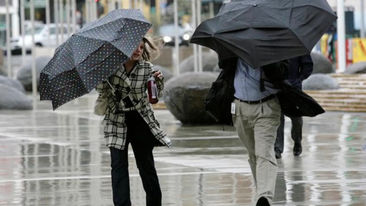
With threats ranging from tornadoes and damaging winds to flash flooding, emergency officials are encouraging residents across the Midwest and Northeast to review safety plans and remain alert for weather warnings.
As the storm system moves through several heavily populated regions over the next few days, forecasters stress that conditions can change rapidly and that having multiple ways to receive weather alerts could be critical.
The coming outbreak serves as another reminder that severe weather season remains active across much of the United States, with communities facing multiple hazards in a short period of time.
Are you located in an area expected to be affected by this storm system? How are you preparing for the potential threat of severe weather and flooding? Share your thoughts and experiences respectfully in the comments below.